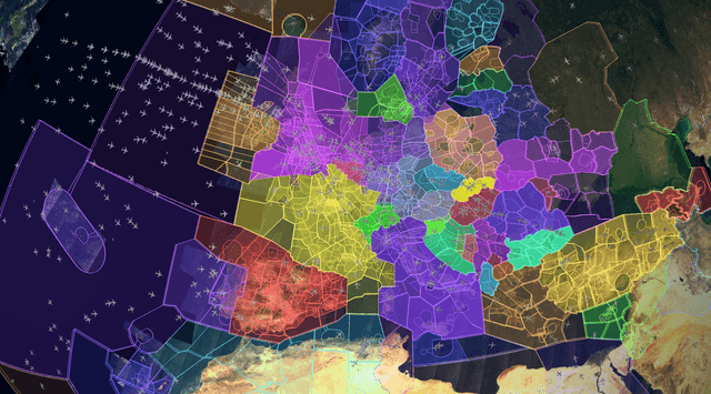
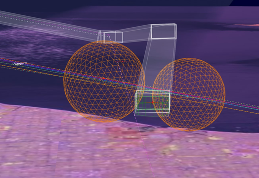
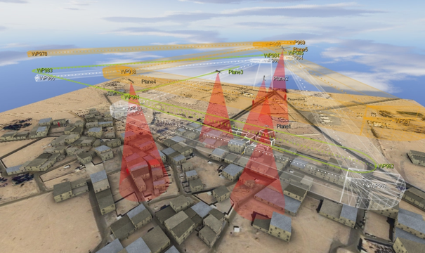
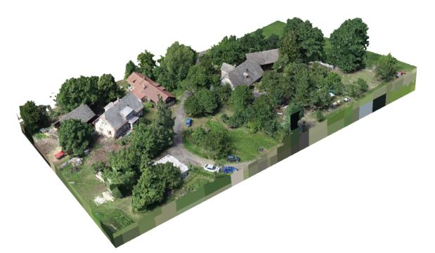
Aerial work is mostly carried out by a human-controlled aircraft nowadays. Higher level of aerial work automation could outperform human in terms of speed, precision and repeatability. We focus on automation of whole aerial work processing chain - 3D trajectory planning, data acquisition, multiple sensor data fusion and post processing. We provide solutions for end-user customers as well as service providers. We have a long term experience with aerial data acquisition, fusion and processing in various domains, ranging from precision agriculture, forestry, aerial mapping and 3D modeling through industrial inspection to specific chemical and radiation sensing. Whatever data you need to acquire, we can help you select appropriate platform and sensors, design and execute data acquisition phase, process data and deliver outputs in short time.
Key capabilities
- Design and manufacturing of complex solutions for aerial work
- Data acquisition and processing automation
- Sensor integration and data fusion
- Aerial mapping and 3D modeling
- Inspections of industrial processes